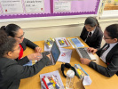
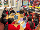
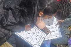
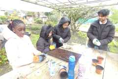
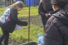
On Monday 23rd January Winterbourne Junior Girls’ School took part in a Geography Enrichment Day.
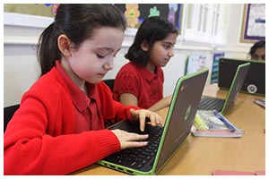
Throughout the day, children enjoyed a number of workshops including using Google Earth to find Physical and Human features in the UK, learning how to use 4 figure grid references, and also going out on a field trip to gathering physical data so that pupils could create a map of the local area.
Enrichment Day Activities:
- Grid Points – To learn how to work out and use 4 figure grid references 3.3
- Compass Points and compass direction – To be able to use the 4, 8 compass rose 5.2
- Maps symbols – To be able to use and recognise a variety of map symbols and to understand why they are used.
- Lines of Latitudes & Longitudes – To help locate where a place is in the world, people use imaginary lines of longitudes and Latitudes. 5.1
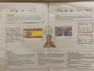
- Using Maps to locate countries – To locate the British Isles on the map – Pupils use eight compass points to describe the location of capital cities within the British Isles and develop knowledge of England, Scotland, Wales and Ireland through hands- (or feet-) on activities.
- Measuring Distance on the Map: How do we measure distances on maps? – Scales + Children could use ropes etc. to measure the distances according to the given scale. 4.2
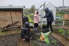
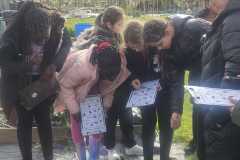
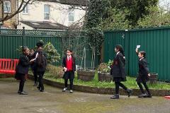
- Fieldwork – To investigate the our local area (Messy maps), Messy maps of human and physical features the local are 6.3/6.1
- Use Google earth to locate countries/places – (This will cover the use of technology in Geography) 3.1
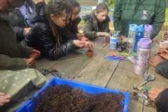
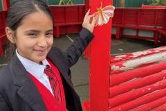
We took some pictures throughout the day, which can be seen in the gallery below. Please click on the thumbnails for a larger view.


